In offshore wind, real-time situational awareness is the difference between a coordinated site and a set of vessels that happen to be operating in the same water.
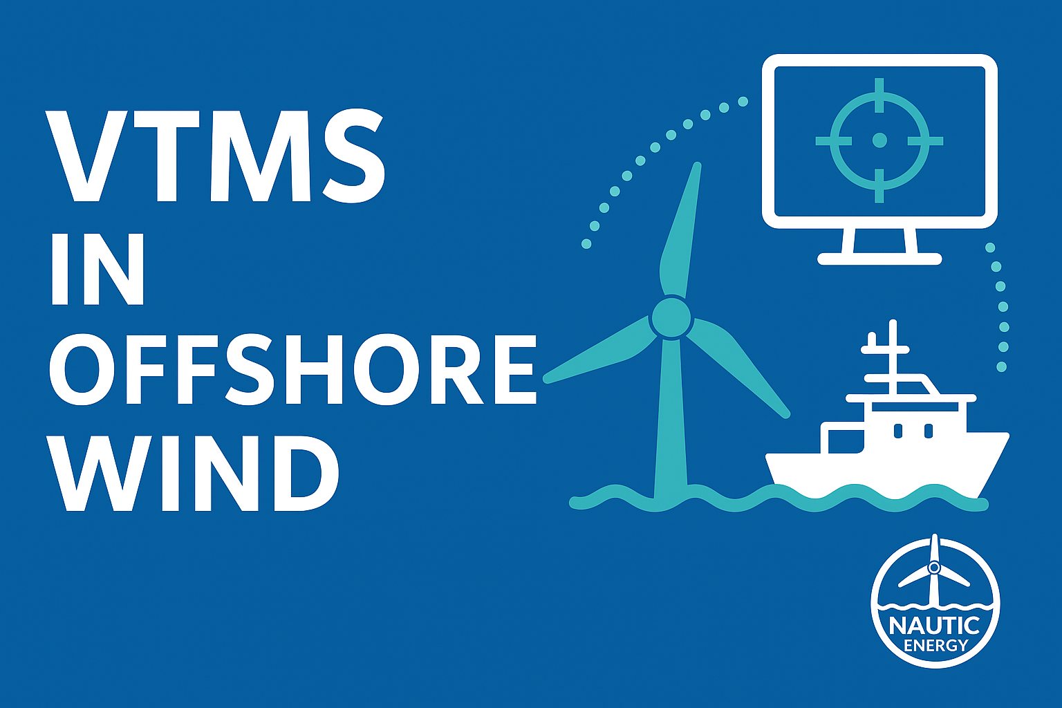
A Vessel Traffic Management System provides the central platform through which a marine coordination team maintains visibility and control over site activity.
What the system tracks
All vessels working on a project are registered by MMSI and tracked in real time — crew transfer vessels, service operation vessels, jack-ups, cable lay vessels, guard vessels and survey craft.
Alongside them sits third-party traffic: fishing vessels, commercial shipping and recreational craft that have no relationship with the project but share the water with it.
Beyond the dot on a map
Tracking positions is the easy part. The useful part is what the system does with them.
Geofence alarms raise an alert if a vessel breaches a designated safety zone, whether around a jack-up, a cable lay corridor or a dive operation.
Personnel tracking ties people to vessels and assets, so the count of who is offshore and where is live rather than reconstructed at the end of a shift.
Certification tracking flags when a vessel or an individual's certification is approaching expiry, before it becomes a compliance problem on the day of a transfer.
Position confidence matters more than most people expect. AIS is not infallible. Positions can be stale, transponders can fail, and a coordinator needs to know the difference between a vessel that is stationary and a vessel whose position has not updated for twenty minutes.
Unavailable is not the same as empty
That last point generalises into a principle worth stating plainly: in any safety-adjacent display, data that is unavailable must look different from data that is genuinely empty.
"No active permits on this asset" and "permit data could not be retrieved" mean completely different things to somebody deciding whether it is safe to start work. A system that renders both as a blank space is actively dangerous.
Anticipation, not just observation
The point of a good system is not to record what happened. It is to let a coordinator see what is about to happen — two activities converging, a vessel drifting toward a boundary, a weather window closing while assets are still deployed.
That is what turns a tracking display into a coordination tool.