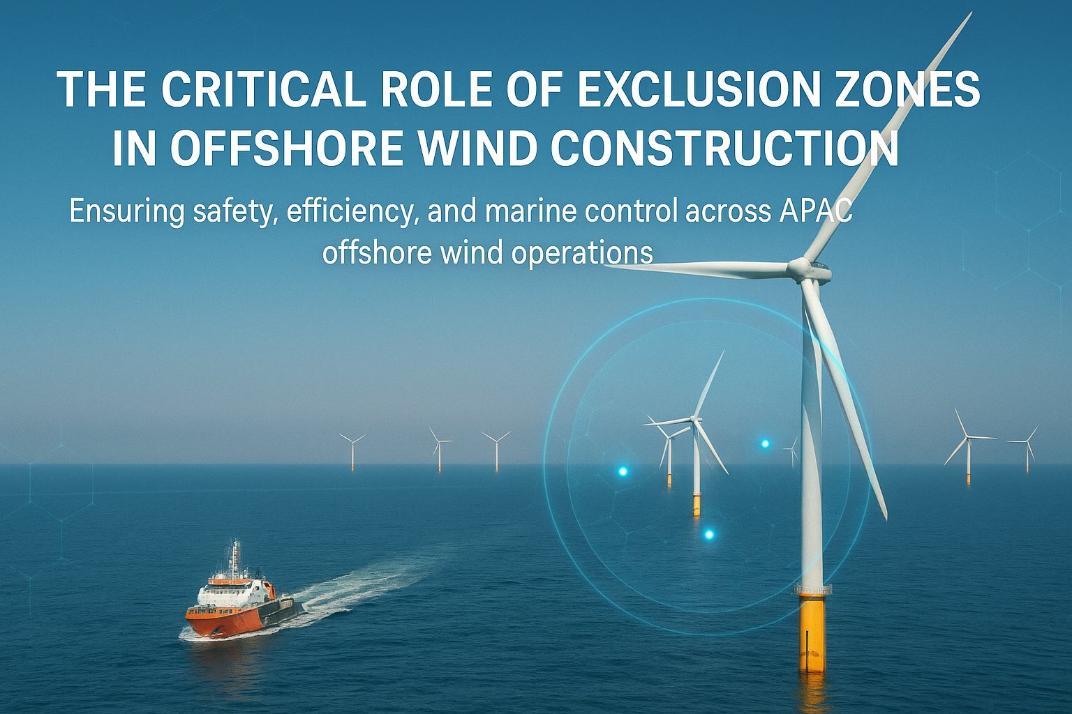
An exclusion zone is a defined area that vessels must not enter, established to protect an activity, an asset or the people working on it. Defining one is straightforward. Making it work is not.
Why they exist
Offshore wind construction puts high-value, low-manoeuvrability assets in open water. A jack-up barge with legs down cannot move. A cable lay vessel following a route cannot deviate quickly. A dive or ROV operation has people or equipment in the water.
Around each of these, an exclusion zone gives the activity room and gives approaching vessels a clear boundary.
The problem with lines on a chart
A zone that exists only in a project document protects nobody. For it to work, three things have to be true.
The zone has to be communicated to everyone who might approach it, including third-party traffic with no connection to the project. The zone has to be monitored, so that an approach is noticed before it becomes an incursion. And a breach has to produce a response — someone contacting the vessel, and an escalation route if contact fails.
Monitoring in practice
Modern marine coordination handles this with geofencing. The zone is drawn in the vessel traffic management system, and vessel positions are checked against it continuously. A vessel crossing the boundary raises an alarm at the coordination desk.
The value is in the time it buys. An alarm at the boundary gives a coordinator minutes to make contact. Noticing an incursion when somebody happens to look at the screen may give none.
Getting the size right
There is a temptation to draw zones generously. Bigger feels safer.
In practice, oversized zones create their own problems. They push traffic into narrower corridors, they get breached routinely because they extend well beyond any real hazard, and routine breaches erode the seriousness of a breach alarm. A zone that alarms constantly gets ignored.
The zone should reflect the actual hazard, the manoeuvring characteristics of the assets involved, and the sea room available. It should be reviewed as the activity changes, not set once at project start and left.
Virtual marking
Where a zone needs to be visible to vessels that are not part of the project, AIS virtual marks can transmit the boundary directly to their navigation displays without any physical buoyage. This is particularly useful in deep water or conditions where physical buoys are impractical to deploy and maintain.